
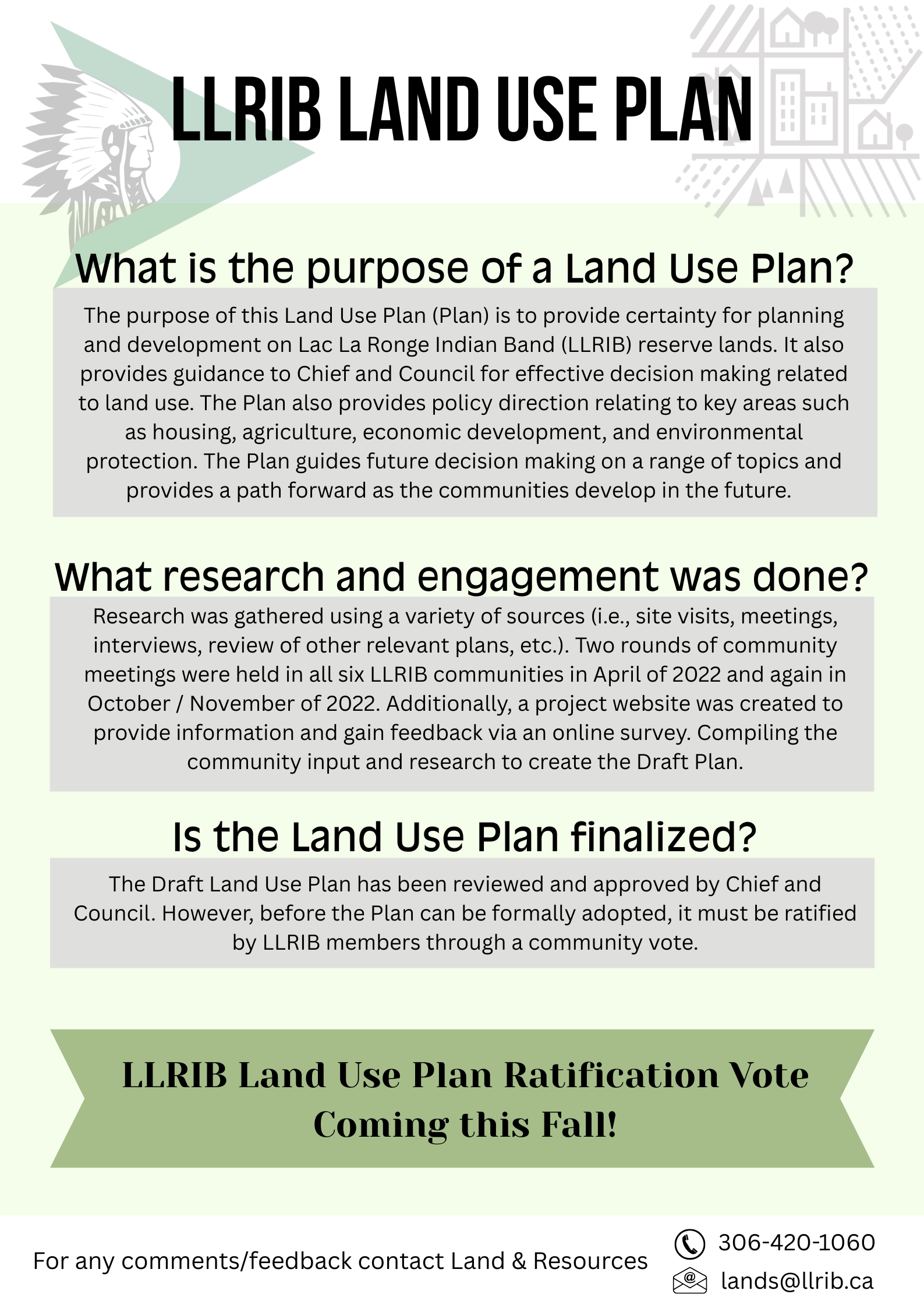
The Draft LLRIB Land Use Plan will help guide how LLRIB Reserve Lands are used, managed, and protected for current and future generations.
We encourage LLRIB members to review the Draft Plan and share any comments, questions, or feedback with LLRIB Lands & Resources.
Phone: 306-420-1060
Email: lands@llrib.ca
A Ratification Vote on the LLRIB Land Use Plan will be held this Fall. More information on voting dates and locations will be shared as it becomes available.
Download available resources:
Land Use Mapping1_BITTERN LAKE I.R. 218
Land Use Mapping1_FOUR PORTAGES I.R. 157C
Land Use Mapping1_FOX POINT I.R. 157D
Land Use Mapping1_FOX POINT I.R. 157E
Land Use Mapping1_GRANDMOTHER’S BAY I.R. 219
Land Use Mapping1_KISKINWUHUMATOWIN RESERVE
Land Use Mapping1_KITSAKIE I.R. 156B
Land Use Mapping1_LAC LA RONGE I.R. 156
Land Use Mapping1_LITTLE HILLS I.R. 158
Land Use Mapping1_LITTLE HILLS I.R. 158A
Land Use Mapping1_LITTLE HILLS I.R. 158B
Land Use Mapping1 GRANDMOTHER’S BAY CORE AREA
Land Use Mapping1_LITTLE RED RIVER I.R. 106C
Land Use Mapping1_LITTLE RED RIVER I.R. 106D
Land Use Mapping1_MORIN LAKE I.R. 217
Land Use Mapping1_OLD FORT I.R. 157B
Land Use Mapping1_POTATO RIVER I.R. 156A
Land Use Mapping1_STANLEY I.R. 157